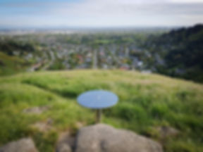

A recreation area in the Port Hills of Christchurch
Managed for its conservation values, accessible recreation, and preservation of an undeveloped section of the Port Hills
MT VERNON PARK
Mt Vernon Park spans from the valley floor to the crater rim of the eroded Lyttelton Volcanic Complex, which erupted 11-9.7 million years ago. The landscape within the park reflects the volcanic origin, deposition of wind-blown silts (loess), erosion, historic deforestation, farming, and ongoing community conservation.
We invite you to come and explore!!
Mount Vernon Park was purchased for the people of Canterbury in 1985 after a successful campaign to raise funds. Strong support was received from the individuals, businesses, schools and local authorities. The aim of buying the park was to preserve the open tussock backdrop to Christchurch and prevent housing creeping up the slopes on this part of the Port Hills.
The 235 hectare park climbs from the city’s urban edge to the Summit Road and beyond to a high point of 462 metres over looking the eroded volcanic landscape of Lyttelton Harbour. It is bounded on the east by the popular Rāpaki Track and on the west by Huntsbury Spur.
LOCATION
Mt Vernon Park is located in the Port Hills of Christchurch.
The main entrance is from the carpark located at the end of Hillsborough Tce, Hillsborough 8022, Christchurch.
The carpark is locked between 7pm and 7am.
The park can also be accessed from the end of Albert Terrace, the Summit Road and Rapaki Track.
Common questions about Mt Vernon Park are answered on our FAQ page.
MAPS AND TRACK INFORMATION
CCC Track Map

